
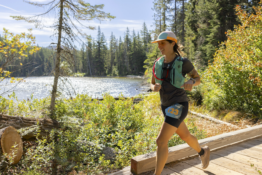
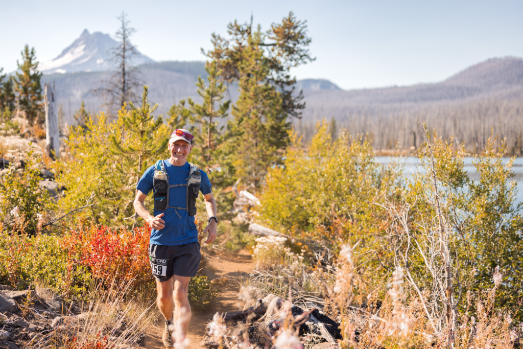
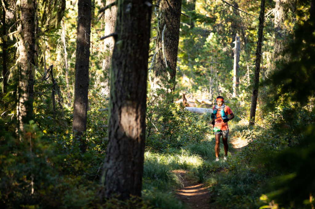
This truly is the most beautiful Oregon 100 miler. The course is on the iconic Pacific Crest Trail and features the best trail running the Pacific Northwest has to offer – technical and rocky sections, lots of views of mountain peaks and lakes, and plenty of luscious of single track. You’ll run between two Cascade mountains; Mt. Jefferson and Mt. Hood, and experience outstanding on-course support while making the journey to the finish line. There is 11,700′ of gain and loss at Mountain Lakes 100.
Check out the Course page for the route.
We had to raise our prices by $20 this year, but are still priced quite a bit lower than other Oregon hundreds.
$340 (Jan 4 – 17)
$360 (Jan 18 – Mar 14)
$370 (Mar 15 – Sep 1)
The above is only Go Beyond Racing’s registration fee and does not include Ultrasignup’s processing fees, any taxes, or add-ons you select. Those are included in the prices on the Ultrasignup site.
2025 Registration Opens January 4th
Capacity is 150.
Please note that there are no transfers to other runners and no refunds. If you need to cancel your registration and it’s more than 30 days prior to the race, you will receive a 50% credit toward a future Go Beyond Racing race. If your cancellation is 30 days or less from race day, there is no credit. By registering, you agree to this Cancellation Policy.
Do you want to race but can’t afford the entry fee? We can help with our Trail Mix Fund.
Please note that there are no transfers to other runners. If you need to cancel your registration and it’s more than 30 days prior to the race, you will receive a 50% credit toward a future Go Beyond Racing race. If your cancellation is 30 days or less from race day, there is no credit, no refund, or no transfer. See our cancellation policy for details.
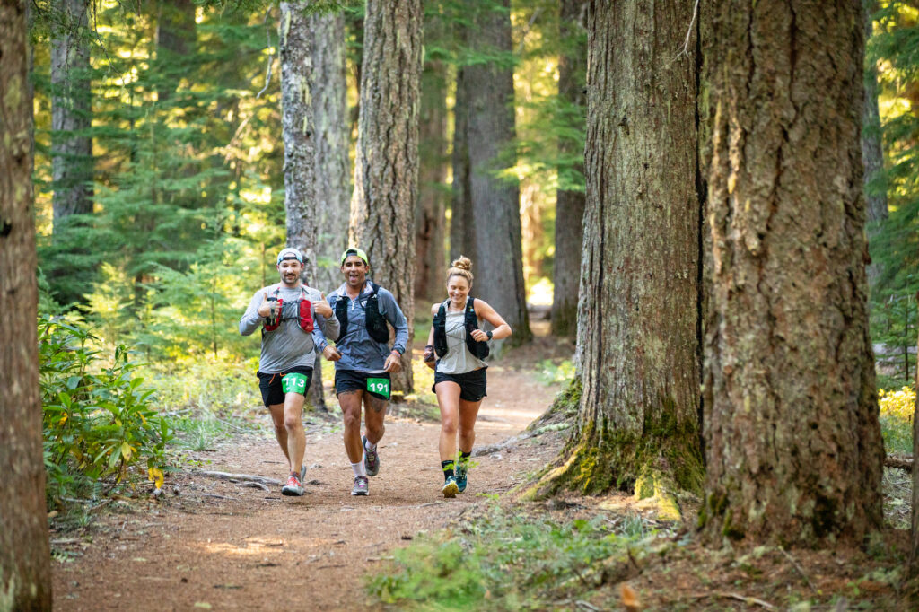
As trail runners, we benefit from the work of those who built and maintain the trails where we run. Many of the organizations and groups who do this work have little and shrinking budgets and rely heavily on volunteers. We strongly believe that all of us should give back by volunteering to do trail work on a regular basis.
All racers (those entered and those on the wait list) must complete a total of eight (8) hours of trail work. The trail work doesn’t need to be done before registering; just sometime after October 1 and by September 1. The required form is signed by the trail work site manager and emailed (to the address on the form) before the deadline. Entrants and waitlisters without the required trail work will forfeit their spot on September 2nd and the next on the wait list is invited to take the place.
We define trail work as maintenance of existing trails and development of new. Picking up garbage does not count. The trails can be anywhere in the world. More details on the requirement are in this post.
Go Beyond Racing hosts several trail work events throughout the year – check our Events Calendar for those. We will also post opportunities we hear of in the Mountain Lakes 100 Facebook Group.
This report shows all current entrants and notes those who have completed all 8 hours. Waitlisters won’t show on this report until they are actually in the race, even if you’ve submitted your hours.
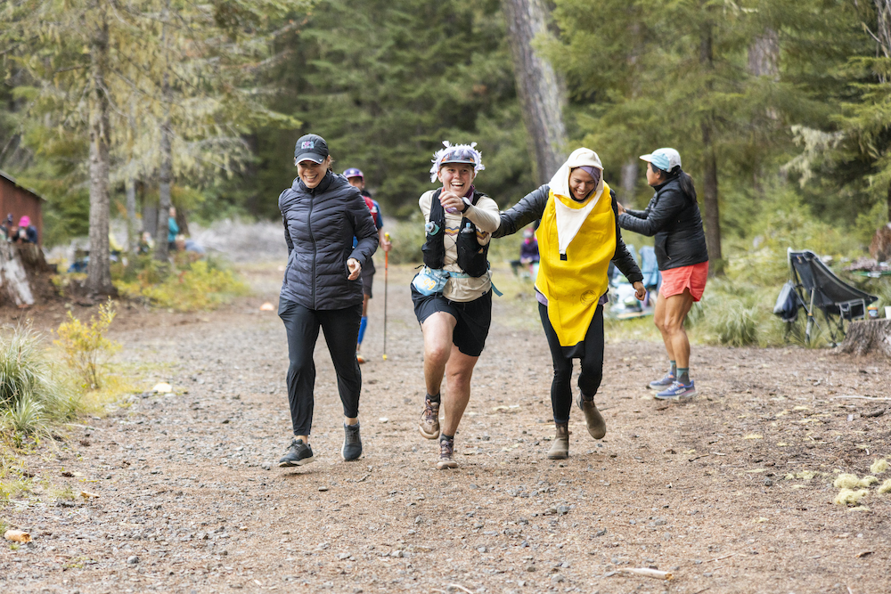
The top three male and female finishers will receive prizes from our sponsors. We give out age group and non-binary awards as well. And there are many raffle prizes. All finishers will receive a belt buckle and a finisher pint glass. Those who finish under 24-hours earn a special buckle.
The all-you-can-eat breakfast starts at 8:00 a.m. and goes until the end and is free for all volunteers, racers, and up to three of their crew/pacers. Families and friends can purchase a meal for $5 cash. We hope everyone sticks around to cheer in racers while enjoying breakfast!
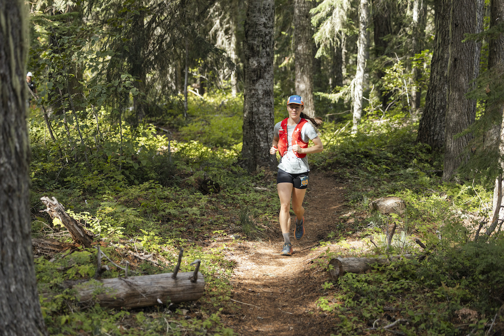
The weather in the northwest in September is usually fairly stable with cool, clear days. The temperatures can drop to the 30s during the nighttime. However, as with any mountain race, the weather can be unpredictable so pack accordingly and check the weather before you leave. Here’s a link to the weather forecast for Olallie Lake and one for Timothy Lake.
Ollalie Lake Resort has rustic cabins, a few yurts and some campgrounds available. Some of the campgrounds have not reopened after the fires. Camping at the Paul Dennis and Olallie Meadows campgrounds is first-come, first-served. There is NO car camping (meaning sleeping in or beside your car) in the parking lots at Olallie Lake.
There are also campgrounds around Timothy Lake. We recommend using recreation.gov to find and reserve.
Government Camp is just 20 miles from Timothy Lake and has lodging also.
The small town of Detroit Lake is much rebuilt after the 2020 fires and has rentals on Airbnb. Note the driving directions below about not using road 4220 from Detroit to get to the race.
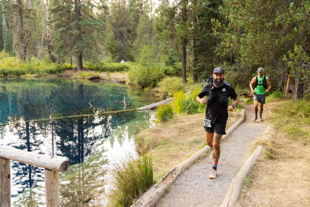
Ollalie Lake Resort (44°48’50.5″N 121°47’24.7″W) is 99 miles southeast of the Portland Airport.
Recommended Route from Portland – Via Estacada
Take Hwy 211/224 south. Continue on Forest Road 46 for 14.8 miles. Left onto FR 42 and go 4.3 miles. Right onto 4230 for 2.7 miles. Right onto 4220 for 9.1 miles.
This route is about 2 hours and 23 minutes from Portland, through Estacada and involves less gravel roads.
From Portland via Government Camp
Take Hwy 26 towards Mt Hood, drive past Government Camp and continue ten miles past the Hwy 35/Hwy 26 intersection to Forest Road 42 (also marked as Skyline Rd and Timothy Lake). The Forest Road 42 turnoff is close to the 66-mile mark on Hwy 26. Follow Forest Roads 42 to 42/200 to 4230 to 4220 (we will have signage at the intersections).
Google Map Portland to Olallie Lake Resort (via Government Camp)
Olallie Lake is about 2 hour 30 minutes from the Portland airport.
From Bend
Hwy 97 to Hwy 20. Go north on US 20 to Detroit. In Detroit, turn right onto Forest Road 46 for 23 miles. Do not take the right onto 4220 that Google Maps will tell you to (see below). Turn right onto Forest Road 4690 and go 8 miles. Turn right onto Forest Road 4220 (the other end of it, not the bad portion) and continue onto the Resort.
NOTE: Google maps will send you up Forest Road 4220 from Detroit (into the back of Olallie Lake Resort). This road is rough and requires a high-clearance vehicle and we do not recommend this route.
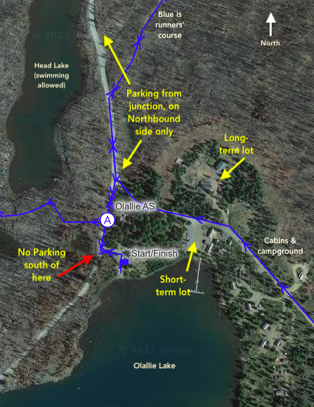
Parking is tight. We request that crew and pacers and spectators carpool as much as possible. There are three parking options. Please utilize these only as designated. There are two “lots” we will use at the Resort, and parking alongside the road north of the aid station. Crew and spectators should be prepared to walk a bit to get to the action.
Please follow these directions. Make sure your crew knows too. The volunteers and race organizers will be busy doing more important things to support the runners than policing the parking areas and no one really enjoys those conversations when someone parks where they’ve been told they aren’t allowed.
Clackamas Lake Historic Ranger Station, near Timothy Lake, is approximately 20 miles south of Mt. Hood. (45.0986, -121.7513)
From Portland, take Hwy 26 towards Mt Hood, drive past Government Camp and continue ten miles past the Hwy 35/Hwy 26 intersection to Hwy 42 (also marked as Skyline Rd and Timothy Lake). The Hwy 42 turnoff is close to the 66-mile mark on Hwy 26. The Clackamas Ranger Station is 10 miles down Hwy 42, 1/4 mile past Hwy 42/Hwy 57 intersection on Hwy 42.
Clackamas Ranger Station is about 1 hour 45 minutes from the Portland airport.
Google Map for Clackamas Ranger Station.
Parking is allowed on the side of the road on portions of Forest Service Road 42 (FS42) south of the Clackamas Lake Historic Ranger Compound. No parking is allowed on on either side of FS42 at the Pacific Crest Trailhead adjacent to Joe Graham Campground. No parking is allowed on either side of FS42 from the event entrance north to Joe Graham Campground.
If you are interested in carpooling, you can post here to find or give a ride. This is a Google spreadsheet that is viewable to anyone with the link, so only post what you want public. Carpooling can earn you $5 cash and a $5 drink gift card from Nossa Familia Coffee – read about this program here.
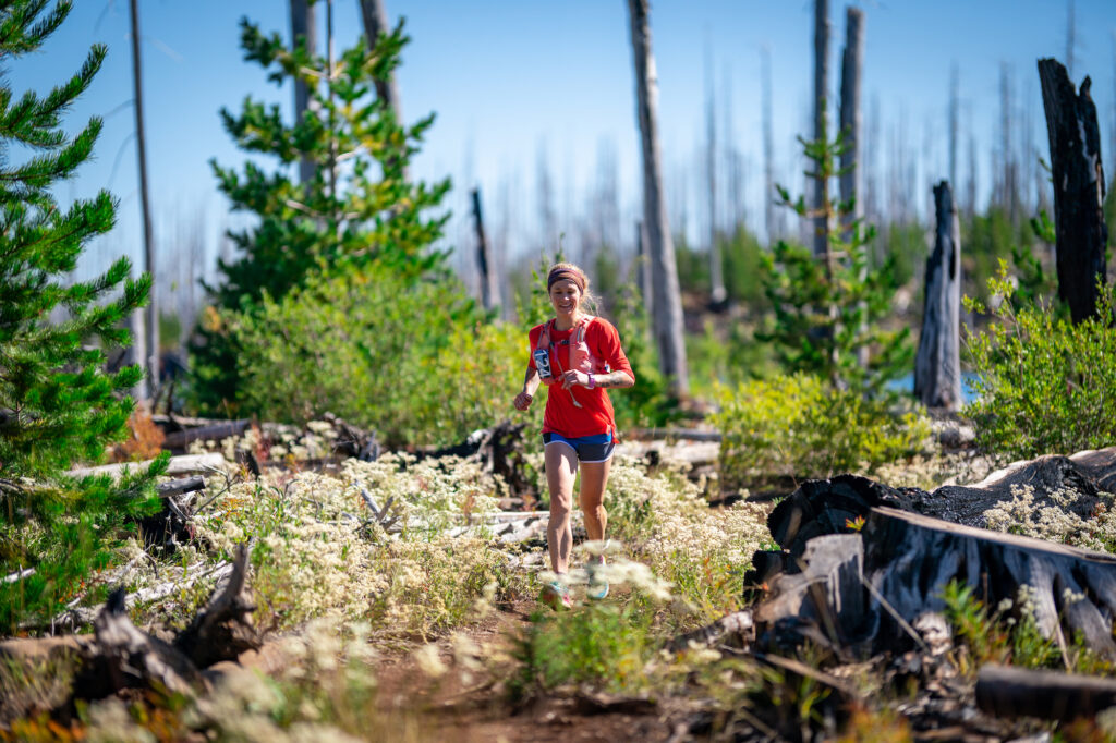
We love volunteers and our racers do too! To make this race a success we need almost 100 people to help at bib pickups, race start and finish, aid stations, and on the trail. Click on the Register button on this page and then the green Volunteer button on Ultrasignup. HAM radio volunteers can sign up here.
This race is called Mountain Lakes 100 because… it is in the mountains. It has some pretty remote sections. There is very little internet or cell service along the course or at the start/finish area. The closest “town” is Detroit about 30 miles away or Government Camp about 40 miles away. There are no showers. You can swim in Head Lake to clean up. Please come prepared with this in mind. In fact, consider this a nice weekend away from the city in all senses. The lowest point is at 3,300 feet elevation and the high point on the course is at 5,700 feet.
No internet. No cell service. We meant it when we said this race is in the mountains. There is NOT live tracking through the aid stations. There is not a way for crew or family back home to track their runners through the aid stations. There are live finish line results, but that’s it. That link will be on the Results page once the finishers start arriving there.
We are manually keeping track of runners through the aid stations on paper and do have HAM radio at all the aid stations so that race operations is in contact with each. It’s a little bit old-school and we like it like that.
We do have a few rules that apply to all Go Beyond Racing races. Be sure you are familiar with them.
Need help getting ready for this race? Talk to our friends at Wy’east Wolfpack. They provide excellent coaching and training services.
We have a vibrant community on our Mountain Lakes 100 Facebook Group. Join to learn from those who have run before, connect with runners, find pacers, etc.
Follow Go Beyond Racing on Facebook and on Instagram to stay inspired.
We acknowledge that this race occurs on the traditional homelands of the Molalla Tribe, Tenino Tribe, and the Confederated Tribes of the Warm Springs.