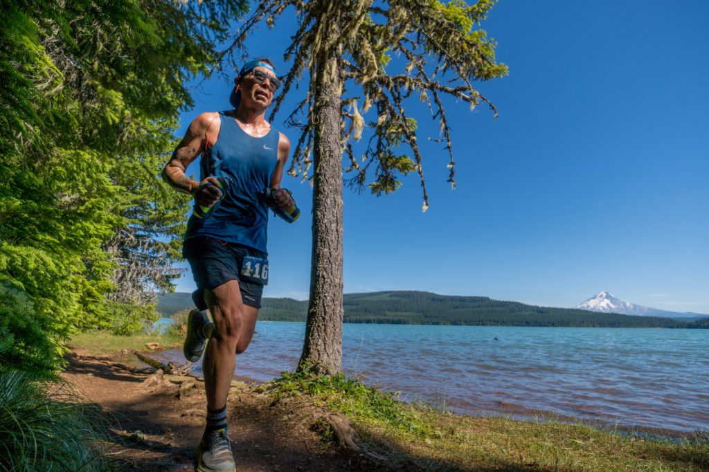
The 25K course starts in the same place as the 50K, but instead of heading toward Timothy Lake right away, this route will take you across Forest Service road 42 onto the Miller Trail for a short stint. At the Miller/PCT Headwaters trail junction, you continue straight, onto the Headwaters Trail. This trail is not a part of the 50M or the 50K and takes you around Clackamas Lake. You’ll cross back over road 42 again, near the Joe Graham horse camp, and then run on the Old 1916 Trail. Here you’ll have a few climbs and descents until you reach the first aid station at mile 5.7. From there, you’ll run about another mile to connect with the Timothy Lake trail. The soft and glorious trail takes you around the north side of the lake to the Dam aid station at mile 11.3. Then you’ll continue around the lake to the finish line. There is 1,453 feet of gain and loss in the 25K course.
This is a running race, no walkers please.
Click to view an interactive 25K Caltopo map
And for COROS watch users, you can download the route directly to your COROS app and then sync to your watch.
The first aid station, at Old Trail, has Precision Fuel gels, Precision Hydration electrolyte drink, and water. The second aid station, at the Dam, is stocked with Precision Fuel gels, Precision Hydration electrolyte drink, water, soft drinks, PB&Js, potato chips, pickles, Fritos, gummy bears, Oreos, fruit, and M&Ms.
Go Beyond Racing is cupless. You’ll need to bring your own cup for liquid aid at all aid stations. Read more about what it means to be cupless.
| Aid Station | Segment Distance |
Total Distance |
Full Aid |
|---|---|---|---|
| Start | |||
| Old Trail | 5.9 | 5.9 | No |
| Dam | 5.6 | 11.5 | Yes |
| Finish | 4.0 | 15.5 |
No crews or pacers are needed or allowed for the 25K. Spectators can cheer on runners at the Start/Finish and the Dam aid station only.
Directions to the Dam Aid Station: Leaving the Start/Finish area, go north on Hwy 42 for 100 yards, turn left at the Y onto Road 57. Drive 3.5 miles to the Dam and park in the public lot.